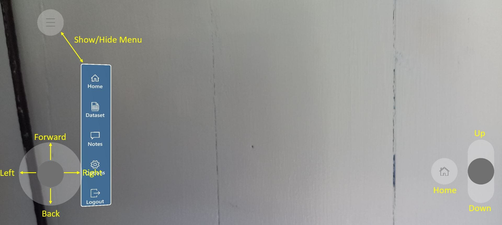
Aroaro (Alpha) – Getting Started
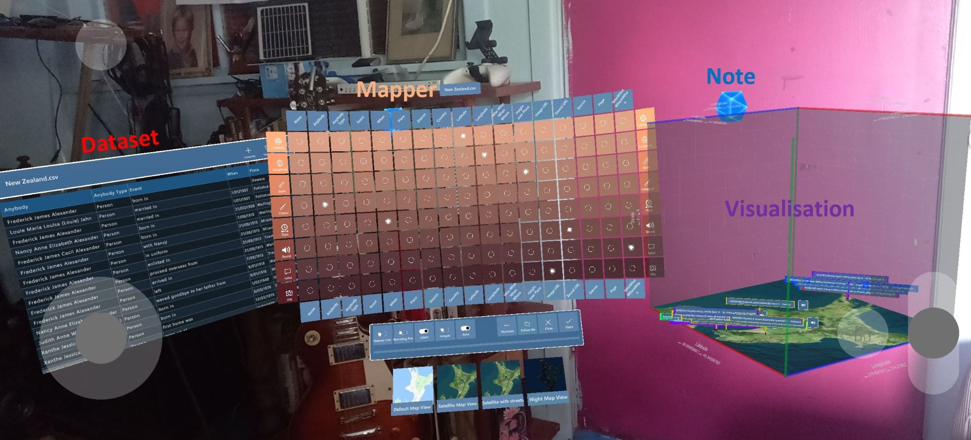
With Aroaro create Visualisations of any Datasets (currently .csv files) in 3D augmented reality with Dataset attributes (columns) mapped with the Matrix to point attributes such as Shape, Colour, Size, Image, and Sound
See Aroaro Engineering Architecture
Current Features
-
3D Visualisation
- If x, y, z are attributes in the Datasets they will be mapped automatically to Point X, Y, Z defaults
-
2D Map Visualisation
- If Latitude and Longitude are in Datasets they will be used as defaults
-
Notes
- Record Voice, Image and Text
- Record Voice, Image and Text
Features Coming
Already Developed, UX Upgrade in progress
- Multi-user with Voice
- Force directed Networks
- Enhanced 3d Visualizations
- Points as shapes
To be Developed
- Save a Scene
- More Options
- Complex points
- and many others documented in Github
Privacy
- Access is anonymous
- Notes are saved
- A record of Aroaro being opened is kept with no user data
System Requirements
- Android with ARCore
- Android Version 10+
Install
Android Mobile
- Download Aroaro.APK
- Install Aroaro (double “click” on Aroaro.APK) in your Downloads Folder
- Designed for standing up and moving around the space to explore the Visualisations from different viewpoints
- Try the Example Datasets (Spiral first) using the Mapper to create Visualisations
- Please use Notes to give us feedback
- Try the variety of scenes from the Sample Data (above) which illustrate Uncle Freddy’s Story. (Map Dataset attribute “Height over Place” to Scale)
- Use some of your own data to create Visualisations and maybe find meaning
Aroaro for Android will visualise any Datasets (currently .csv files) in augmented reality 3D with data attributes mapped to point attributes such as Shape, Colour, Size, Image, and Sound


How to create an Augmented Reality Map based Visualization